I have problems creating videos that are based on geographical data.
Solved by Google Earth Studio
The Problem
When working with geographic data to create high-quality videos, certain difficulties arise. Problems can occur in converting this data into visually appealing formats and controlling the camera angle can also be problematic. Moreover, achieving seamless integration with existing video production tools can be challenging, particularly when it comes to the seamless workflow. The use of existing 3D images continues to be a challenge. Finally, utilizing cloud computing services to improve product quality can pose difficulties.
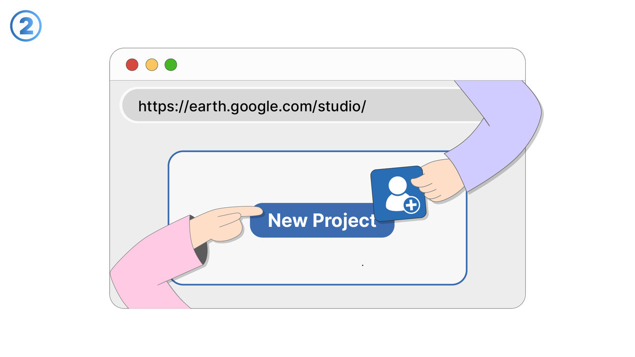
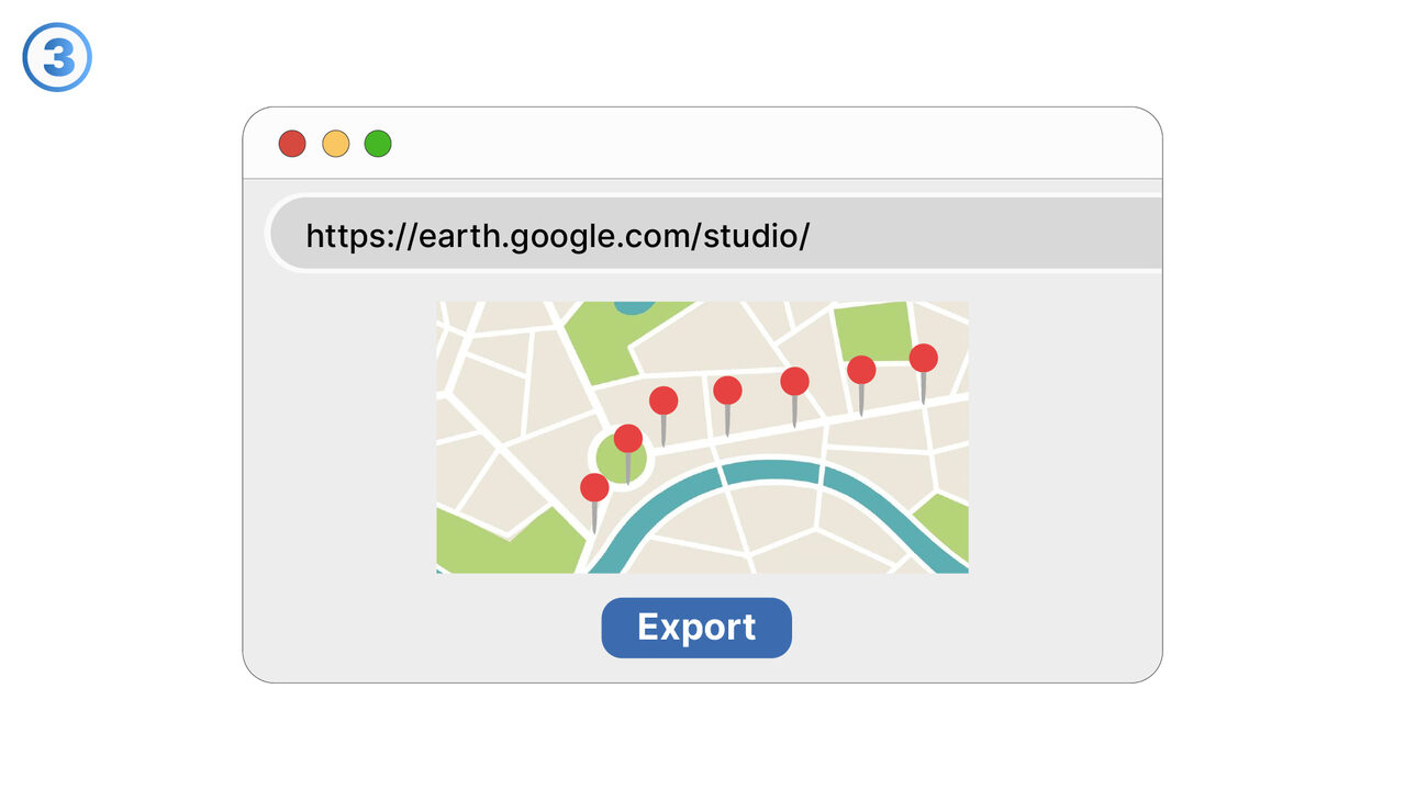
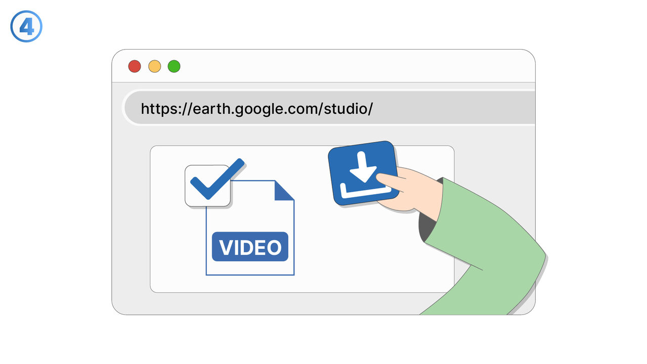
Screenshots

The Solution
Google Earth Studio is a groundbreaking tool that simplifies and refines the creation of high-quality videos from geographical data. It allows for the effortless transformation of this data into visually stunning formats, includes comprehensive camera control functions to enhance visual storytelling, and allows for seamless, hassle-free integration with conventional video production tools. Furthermore, it utilizes Google Earth's extensive 3D image archive to expand and improve geographic representation. Being web-based, it can be used anywhere, at any time, and its capabilities are enhanced through the use of cloud computing. This tool offers users an unprecedented opportunity to experience storytelling with geographical data in a way that is simple, engaging, and professional.
External Resource
https://earth.google.com/studio/
Use this tool as a solution to the following problems
- I need a tool to use high-quality 3D images for geographical storytelling in my videos.
- I have difficulties creating convincing virtual tours.
- I am having problems with the simulation of traffic flows with Google Earth Studio.
- I am having difficulties integrating geographic productions seamlessly into my usual production tools.
- I need a program to map complex geographical data in detail.
- I have trouble controlling the camera angles in my 3D graphics.
- I can't export 3D graphic videos with Google Earth Studio.
- I'm having trouble creating videos with high-resolution graphics in Google Earth Studio.
- I am having trouble visualizing geographical data in 3D.
Know a better solution? Let us know.
If you know of a tool or approach that could help people solve a problem we haven't covered yet, we'd love to hear about it.